Derechos are often referred to as inland hurricanes due to the hurricanelike conditions, in terms of ferocious wind and torrential rain, which are spawned by this weather phenomenon.
This term refers to a dangerous type of thunderstorm complex that is at least 240 miles wide, according to the Storm Prediction Center (SPC). These violent severe thunderstorm clusters produce widespread and long-lived, straight-line wind damage.
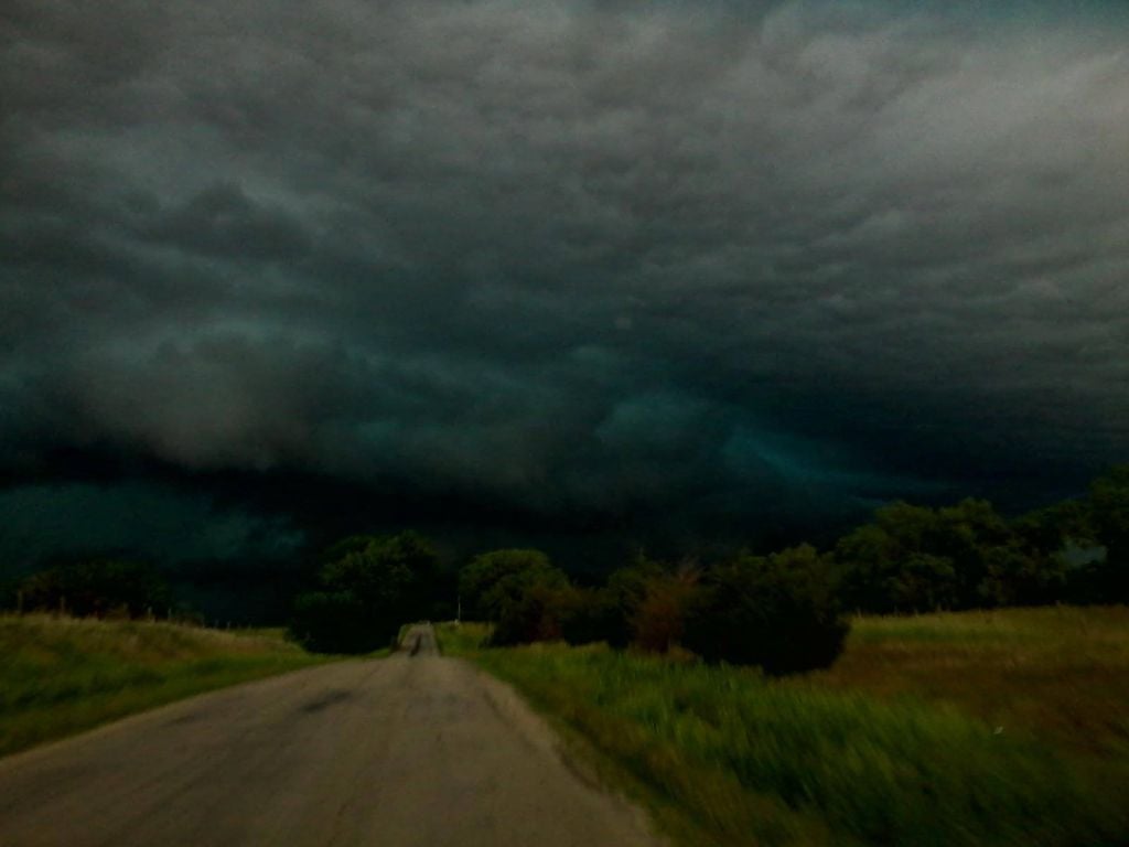
STACIE BREWER NILSON This photo was taken by Stacie Brewer Nilson north of Ainsworth, Nebraska, around noon Tuesday.
By Nancy Gaarder and Jay Withrow / World-Herald staff writers
Individual powerful storms have begun to occur in northern Nebraska and into South Dakota,, a precursor of what lies ahead for the rest of the Midlands.
The National Weather Service received a report of 100 mph winds in the Newport, Nebraska, area as a storm broke loose there and headed toward O'Neill. By the time it approached that community, wind speeds were clocked at 80 mph.
Hail covered the ground 12 miles north of Ainsworth and another bout of hail covered the ground five miles northwest of Rosebud, South Dakota.
Elsewhere, strong winds, quarter-sized hail and heavy rain left its mark on Stuart, Nebraska, early Tuesday afternoon.
 Market Data
  Markets