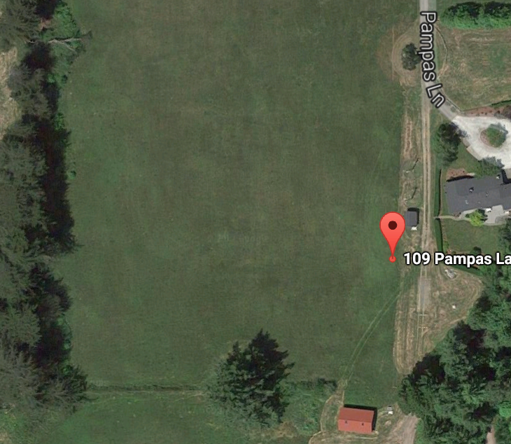
https://tinyurl.com/y8adl443 Here's Google's map of the property. Notice the structure with the red roof on the lower part of the image, and the shed and house with the gray roofs on the right part of the image. Also notice the big tree in the center bottom.
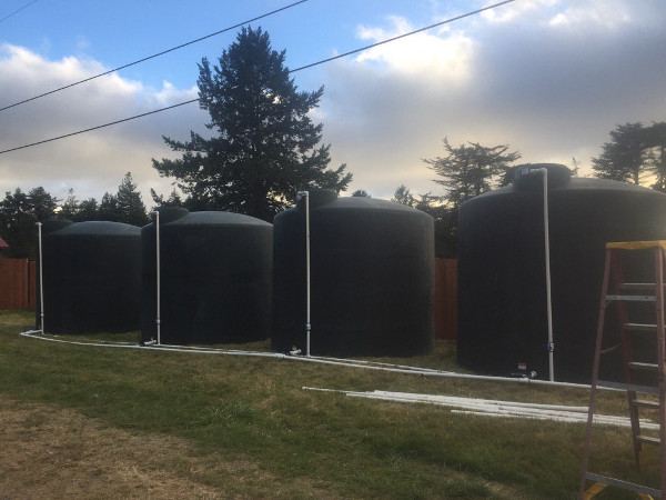
Notice that the red roof can barely be visible on the left edge of the image, so the tanks are positioned at the bottom of the property. Also, that nearest big tree is positioned in a way that is consistent with the tree in the bottom of the google map. Also notice a distinct looking tree with a curved up branches in the center right of the image in the far background.
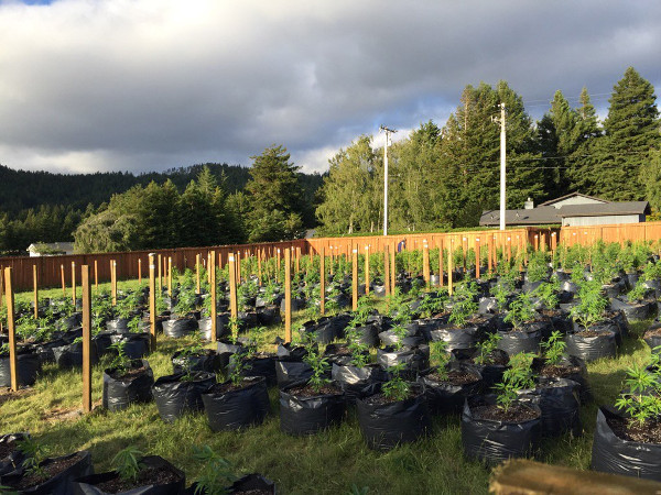
You can see the same distinct tree with curved branches in this picture of the crops.
You can see the gray roof house and shed in this image.
 News
News  Market Data
  Discover