


Wednesday, April 05, 2017 3:43:21 PM

[as currently at] http://www.spc.noaa.gov/products/outlook/pwo.htmlZCZC SPCPWOSPC ALL
WOUS40 KWNS 051651
ALZ000-GAZ000-KYZ000-SCZ000-TNZ000-060200-
PUBLIC SEVERE WEATHER OUTLOOK
NWS STORM PREDICTION CENTER NORMAN OK
1151 AM CDT WED APR 05 2017
...Outbreak of tornadoes and severe thunderstorms expected over
parts of the southeast US today into tonight...
* LOCATIONS...
Georgia
South Carolina
Eastern Alabama
Middle Tennessee
South-central Kentucky
* HAZARDS...
Numerous tornadoes, several intense and long track
Widespread large hail, some baseball size
Scattered damaging winds
* SUMMARY...
An outbreak of severe thunderstorms is expected from portions of
the Southeast States to the Ohio Valley region and eastward to
the Mid-Atlantic. Significant tornadoes will be possible,
especially from parts of central and southern Georgia into South
Carolina, and also from parts of eastern Alabama into
south-central Kentucky. In addition, very large hail, and
damaging wind gusts are expected.
Preparedness actions...
Review your severe weather safety procedures for the possibility
of dangerous weather today. Stay tuned to NOAA Weather Radio,
weather.gov, or other media for watches and warnings. A tornado
watch means that conditions are favorable for tornadoes to form
during the next several hours. If a tornado warning is issued for
your area, move to a place of safety, ideally in a basement or
interior room on the lowest floor of a sturdy building.
&&
..Marsh.. 04/05/2017
$$
--
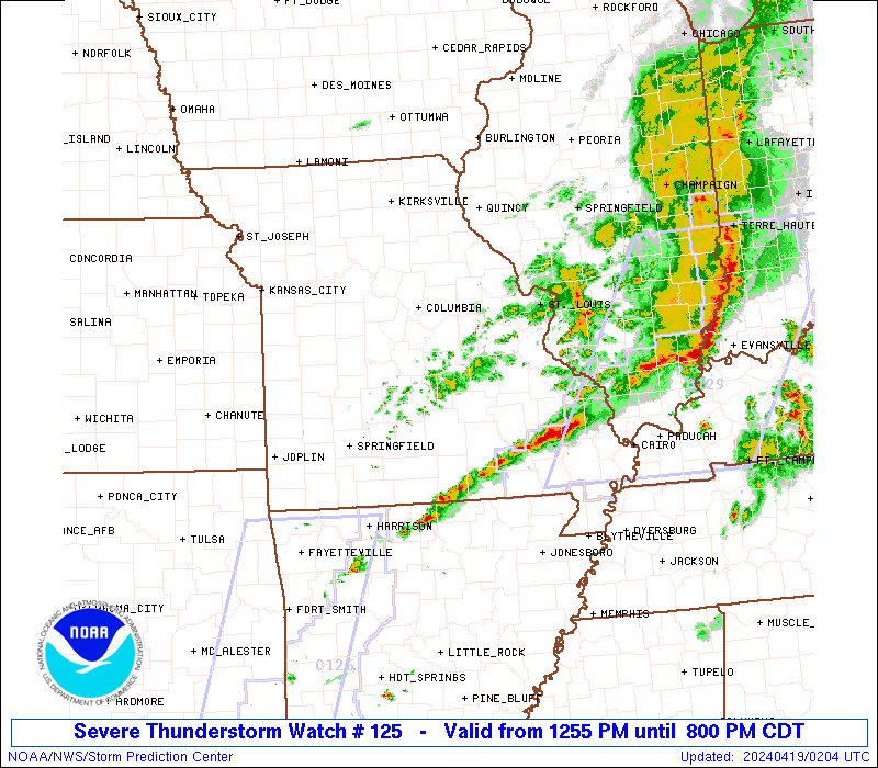
Particularly Dangerous Situation (PDS) Tornado Watch 125
Overview with Most Recent Radar
[refresh this post to see most recent]
Warnings

[refresh this post to see most recent]
Counties

[refresh this post to see most recent]
http://www.spc.noaa.gov/products/watch/ww0125.htmlSEL5
URGENT - IMMEDIATE BROADCAST REQUESTED
Tornado Watch Number 125
NWS Storm Prediction Center Norman OK
1255 PM EDT Wed Apr 5 2017
The NWS Storm Prediction Center has issued a
* Tornado Watch for portions of
Southeast Alabama
Florida Panhandle
Central and Southwest Georgia
Western South Carolina
* Effective this Wednesday afternoon and evening from 1255 PM
until 800 PM EDT.
...THIS IS A PARTICULARLY DANGEROUS SITUATION...
* Primary threats include...
Numerous tornadoes expected with a few intense tornadoes likely
Widespread large hail and isolated very large hail events to 2.5
inches in diameter likely
Widespread damaging winds likely with isolated significant gusts
to 75 mph possible
SUMMARY...Intense supercell thunderstorms are expected to develop
this afternoon over the watch area, posing a risk of strong
tornadoes. Large hail and damaging winds are possible as well.
The tornado watch area is approximately along and 85 statute miles
north and south of a line from 20 miles west southwest of Dothan AL
to 45 miles east of Augusta GA. For a complete depiction of the
watch see the associated watch outline update (WOUS64 KWNS WOU5).
PRECAUTIONARY/PREPAREDNESS ACTIONS...
REMEMBER...A Tornado Watch means conditions are favorable for
tornadoes and severe thunderstorms in and close to the watch
area. Persons in these areas should be on the lookout for
threatening weather conditions and listen for later statements
and possible warnings.
&&
OTHER WATCH INFORMATION...CONTINUE...WW 124...
AVIATION...Tornadoes and a few severe thunderstorms with hail
surface and aloft to 2.5 inches. Extreme turbulence and surface wind
gusts to 65 knots. A few cumulonimbi with maximum tops to 500. Mean
storm motion vector 24035.
...Hart
--

https://radar.weather.gov/Conus/southeast_lite.php [refresh this post to see most recent]

https://radar.weather.gov/Conus/southeast_lite_loop.php [refresh this post to see most recent]
--
Severe Weather and Flash Flood Warnings
http://kamala.cod.edu/svr/
Storm Predition Center
http://www.spc.noaa.gov/
Watches
http://www.spc.noaa.gov/products/watch/
Mesoscale Discussions
http://www.spc.noaa.gov/products/md/
Convective Outlooks
http://www.spc.noaa.gov/products/outlook/
Today's Storm Reports
http://www.spc.noaa.gov/climo/reports/today.html
Storm Reports
http://www.spc.noaa.gov/climo/online/

Greensburg, KS - 5/4/07
"Eternal vigilance is the price of Liberty."
from John Philpot Curran, Speech
upon the Right of Election, 1790
F6
Join the InvestorsHub Community
Register for free to join our community of investors and share your ideas. You will also get access to streaming quotes, interactive charts, trades, portfolio, live options flow and more tools.

