Public Severe Weather Outlook (PWO)

    ZCZC SPCPWOSPC ALL
    WOUS40 KWNS 221302
    ALZ000-FLZ000-GAZ000-221800-

    PUBLIC SEVERE WEATHER OUTLOOK
    NWS STORM PREDICTION CENTER NORMAN OK
    0702 AM CST SUN JAN 22 2017

    ...Outbreak of tornadoes and severe thunderstorms expected over
    parts of the north Florida and south Georgia today...

    * LOCATIONS...
      South Georgia
      North Florida
      Extreme southeast Alabama

    * HAZARDS...
      Numerous tornadoes, several intense and long track
      Scattered damaging winds
      Scattered large hail

    * SUMMARY...
      A severe thunderstorm and tornado outbreak is expected today
      across north Florida and south Georgia, with the significant
      severe threat also expected to extend southward into central
      Florida and northeastward into South Carolina this evening. A
      few long-track, strong tornadoes will be possible.

    Preparedness actions...

    Review your severe weather safety procedures for the possibility
    of dangerous weather today. Stay tuned to NOAA Weather Radio,
    weather.gov, or other media for watches and warnings. A tornado
    watch means that conditions are favorable for tornadoes to form
    during the next several hours. If a tornado warning is issued for
    your area, move to a place of safety, ideally in a basement or
    interior room on the lowest floor of a sturdy building.

    &&

    ..Thompson.. 01/22/2017

    $$
http://www.spc.noaa.gov/products/outlook/pwo.html [will update when the next PWO is issued, probably later today]
*
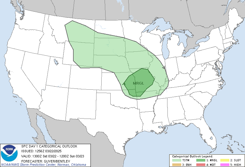
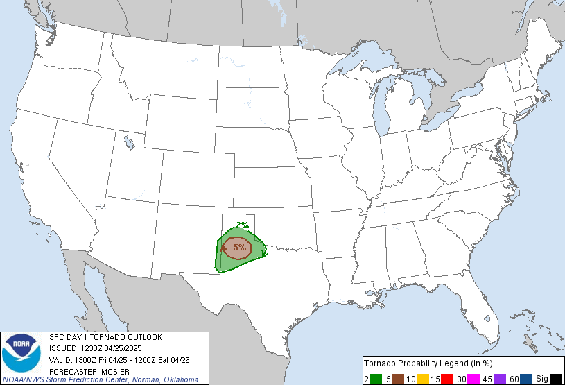
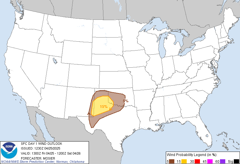
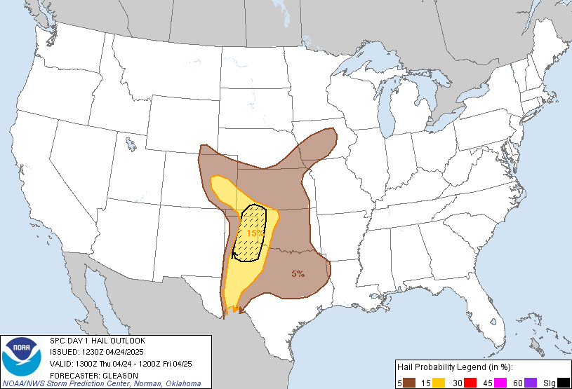
Jan 22, 2017 1300 UTC Day 1 Convective Outlook


Probability of a tornado within 25 miles of a point.
Hatched Area: 10% or greater probability of EF2 - EF5 tornadoes within 25 miles of a point.

Probability of damaging thunderstorm winds or wind gusts of 50 knots or higher within 25 miles of a point.
Hatched Area: 10% or greater probability of wind gusts 65 knots or greater within 25 miles of a point.

Probability of one inch diameter hail or larger within 25 miles of a point.
Hatched Area: 10% or greater probability of two inch diameter hail or larger within 25 miles of a point. SPC AC 221253
Day 1 Convective Outlook
NWS Storm Prediction Center Norman OK
0653 AM CST Sun Jan 22 2017
Valid 221300Z - 231200Z
...THERE IS A HIGH RISK OF SEVERE THUNDERSTORMS TODAY ACROSS SOUTH
GEORGIA...NORTH FLORIDA...AND EXTREME SOUTHEAST ALABAMA...
...THERE IS A MODERATE RISK OF SEVERE THUNDERSTORMS SURROUNDING THE
HIGH RISK AREA...FROM CENTRAL FLORIDA TO SOUTH CAROLINA...
...THERE IS AN ENHANCED RISK OF SEVERE THUNDERSTORMS SURROUNDING THE
MODERATE RISK AREA...FROM SOUTH FLORIDA TO SOUTHERN NORTH
CAROLINA...
...THERE IS A SLIGHT RISK OF SEVERE THUNDERSTORMS SURROUNDING THE
ENHANCED RISK AREA...
...THERE IS A MARGINAL RISK OF SEVERE THUNDERSTORMS SURROUNDING THE
SLIGHT RISK AREA IN THE SOUTHEAST STATES...
...THERE IS A MARGINAL RISK OF SEVERE THUNDERSTORMS TODAY ACROSS THE
CENTRAL CALIFORNIA COAST...
...SUMMARY...
A severe thunderstorm and tornado outbreak is expected today across
north Florida and south Georgia, with the significant severe threat
also expected to extend southward into central Florida and
northeastward into South Carolina this evening.
***Significant tornado outbreak expected today across north Florida
and south Georgia***
...Synopsis...
An amplifying mid-upper trough over TX/OK this morning will continue
eastward to MS/AL by this afternoon. The initial synoptic cyclone
near Texarkana will likely be replaced by cyclogenesis today at the
triple point of the effective warm front across southern AL, and the
eastward-surging cold front/trough from LA/MS. This new cyclone
will deepen and move north-northeastward today across AL/GA in
association with the strong height falls/ascent within the exit
region of a 100-130 kt mid-upper jet. Likewise, very strong
deep-layer tropospheric flow is expected within the warm sector,
where boundary layer dewpoints in the 65-70 F range and a lingering
steep lapse rate plume will support moderate buoyancy. The net
result of these factors will be the potential for a significant
tornado episode today across north FL into south GA.
...AL/FL/GA today to the Carolinas this evening/tonight...
A broken band of severe storms that formed overnight persists this
morning across south GA. This convective band was associated with
low-level warm advection, as well as an ejecting midlevel trough
that is now over north GA and east TN. It is not clear if this
convection will weaken this morning, or if it will persist until new
thunderstorms begin to form farther to the west across south AL and
the FL Panhandle. Regardless the boundary should begin to move
northward by midday as cyclogenesis proceeds across AL. Likewise,
as the synoptic midlevel trough approaches from the west,
strengthening vertical shear is expected within the unstable warm
sector. Observational data confirm the most important aspects of
the thermodynamic and kinematic profiles, thus confidence is high in
the unusual combination of ingredients today. Forecast soundings
suggest the potential for MLCAPE of 1000-1500 J/kg, with effective
bulk shear in excess of 70 kt, and effective SRH in excess of
300-400 m2/s2. The orientation of deep-layer shear vectors across
the cold front/trough will favor broken bands of tornadic
supercells.
Aside from the ongoing storms across south GA, the severe/tornado
risk will likely ramp up again later this morning across south AL
and the FL Panhandle along the residual rain-cooled boundary/warm
front, and then spread east-northeastward across north FL and GA
through the day. Long-tracked, strong tornadoes will be possible
with fast moving supercells, in addition to damaging winds and large
hail. The severe/tornado risk will spread northeastward into the
Carolinas this evening as the cyclone deepens and moves
northeastward to the southern Appalachians. There are some concerns
regarding the degree of near-surface destabilization with
northeastward extent into the Carolinas. However, very strong
low-level shear would favor maintenance of any supercells that
mature a bit farther southwest in the warm sector, with the risk for
tornadoes persisting after dark into SC and perhaps southern NC.
Farther south, the band of storms with the cold front will reach
south FL overnight, with a continued risk for damaging winds and a
couple of tornadoes.
...Central CA coast today...
Another strong shortwave trough will move inland today over CA. As
the left exit region of the mid-upper jet overspreads the coast and
near-surface flow becomes onshore with frontal passage, weak
surface-based buoyancy will develop. There will be some potential
for low-topped thunderstorms with isolated damaging gusts in this
regime.
..Thompson/Cohen.. 01/22/2017
CLICK TO GET WUUS01 PTSDY1 PRODUCT
NOTE: THE NEXT DAY 1 OUTLOOK IS SCHEDULED BY 1630Z
http://www.spc.noaa.gov/products/outlook/day1otlk.html [will update in the normal course]
*
Severe Weather and Flash Flood Warnings
http://kamala.cod.edu/svr/
Current Convective Watches
http://www.spc.noaa.gov/products/watch/
Current Mesoscale Discussions
http://www.spc.noaa.gov/products/md/
Storm Prediction Center
http://www.spc.noaa.gov/